NDVI Remote Sensing: 7 Trends in Agriculture 2026
“By 2026, over 80% of large farms worldwide are projected to use NDVI-based remote sensing for crop monitoring.”

Introduction: The Evolution of Agriculture and Remote Sensing
In the recent years, agriculture and remote sensing technologies have dramatically revolutionized the way modern farming practices are managed and optimized. With the global demand for food production accelerating due to population growth, and challenges like climate change, soil degradation, and water scarcity increasing, the intersection of remote sensing agriculture and digital innovation has become the cornerstone of a sustainable future.
At the heart of this revolution is the Normalized Difference Vegetation Index (NDVI)—a remarkably precise and affordable way to monitor crop health, optimize resources, and promote sustainable practices at all scales. As we progress towards 2025 and look beyond, the integration of NDVI remote sensing with artificial intelligence (AI), machine learning, and advanced analytics is set to further enhance agricultural productivity and food security.

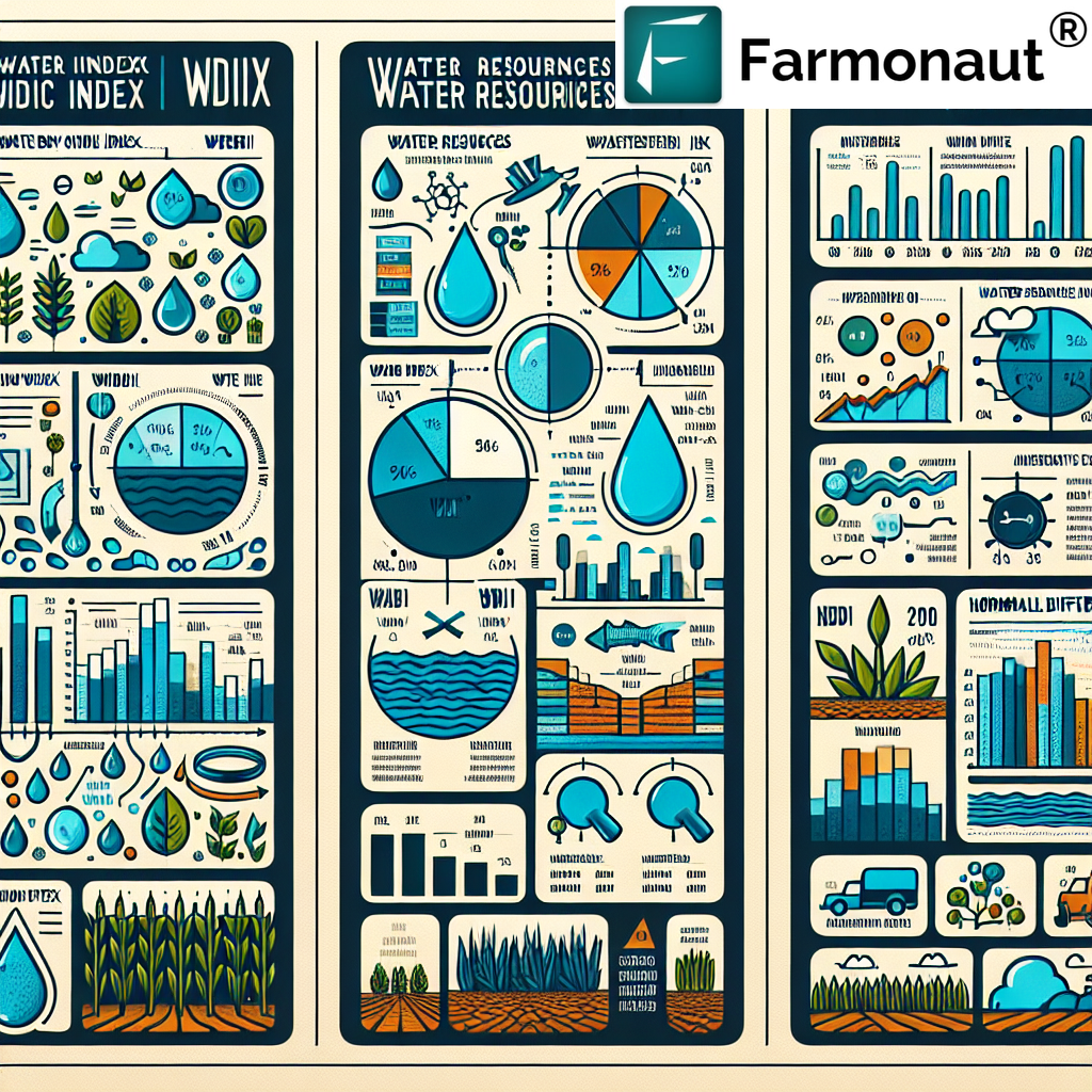
Understanding NDVI in Remote Sensing Agriculture
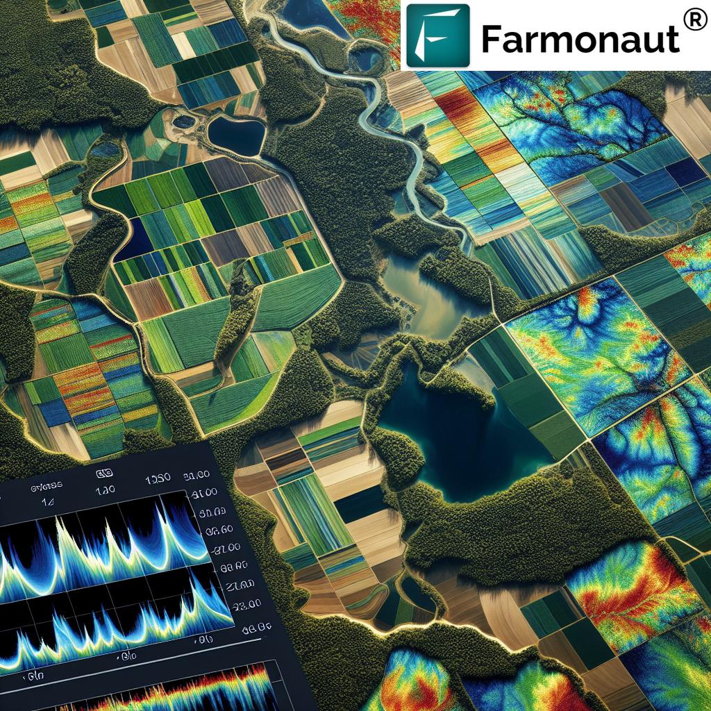
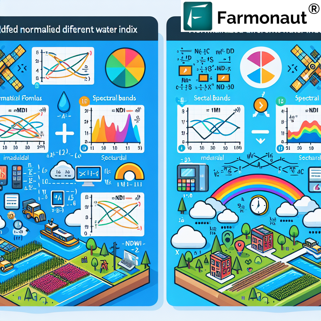
NDVI remote sensing is the backbone of remote sensing agriculture, offering a sophisticated approach to evaluating vegetation vigor and plant stress. It works by measuring the difference between near-infrared (which vegetation strongly reflects) and visible red light (which vegetation absorbs).
- Healthy, photosynthetically active plants reflect more near-infrared light and absorb more red light, resulting in higher NDVI values.
- Stressed or sparse vegetation returns lower NDVI values due to less chlorophyll and increased reflectance in the red band.
The NDVI index value ranges usually from -1 to +1, with:
- High values (close to +1): Dense, healthy green vegetation
- Moderate values (around 0.2-0.5): Sparse or stressed crops
- Low or negative values (below 0): Bare soil, dead vegetation, or water surfaces
This index serves as a critical indicator for crop monitoring, soil moisture estimation, and pest detection, allowing farmers to make informed decisions on irrigation, nutrient management, and overall crop health.
“NDVI technology enables detecting crop health variations as small as 0.01 in vegetation index values, revolutionizing precision agriculture.”
Why NDVI Remote Sensing is Critical in 2026 and Beyond
- ✔ Global food demand will continue to accelerate; precision agriculture using NDVI enables smart decisions for sustainably meeting demand.
- 📊 Climate change, erratic weather and increased water scarcity challenge crop production; NDVI provides real-time monitoring to mitigate losses.
- ⚠ Soil degradation and pest infestations threaten yields; NDVI-based stress detection identifies problems before visible symptoms occur.
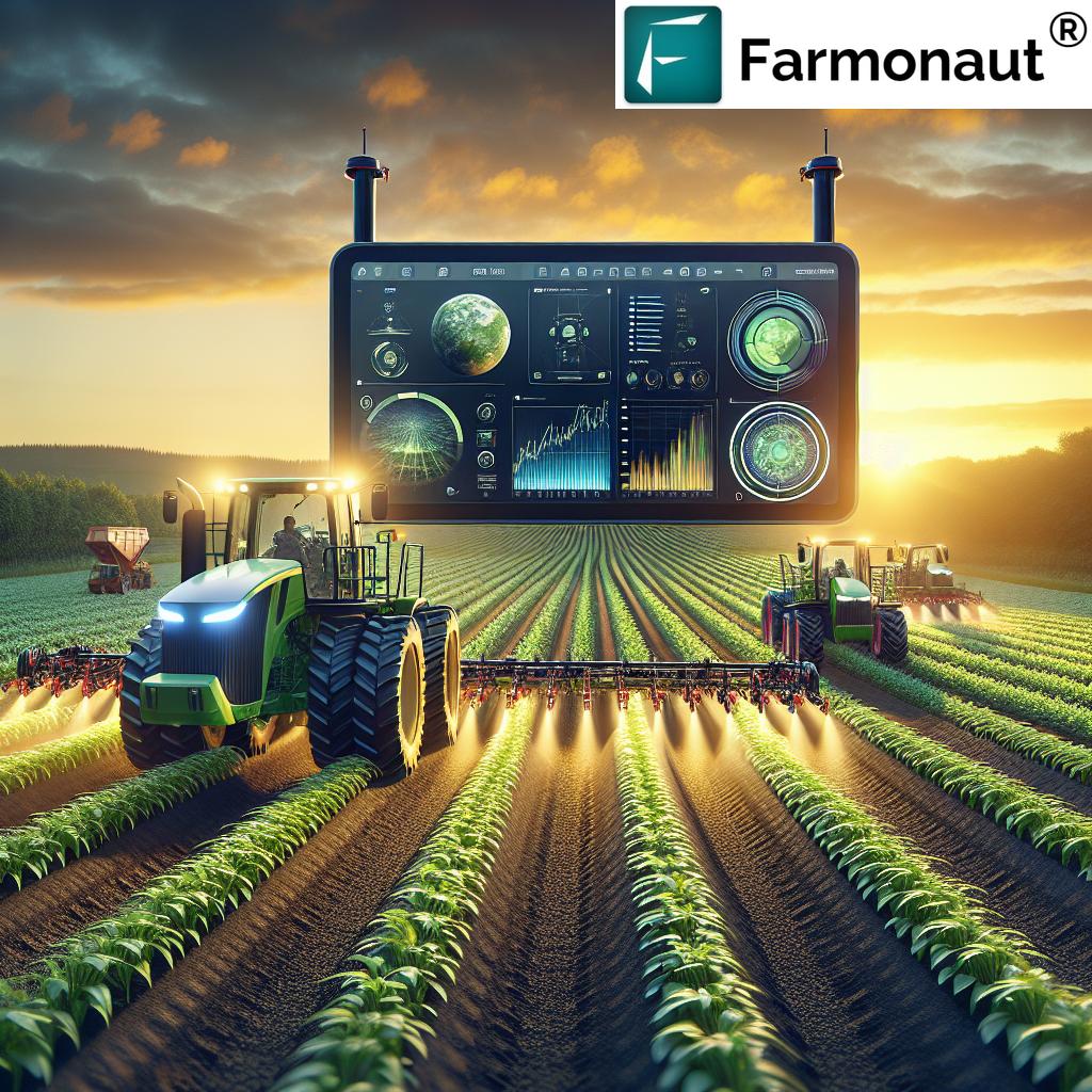
- 🔑 Artificial Intelligence and machine learning can now analyze vast NDVI datasets—making site-specific management fast and affordable.
- 🛰 Satellite advancements and drone imagery offer high-resolution, affordable solutions for farms of all sizes worldwide.
7 Key NDVI Remote Sensing Trends in Agriculture by 2026
The future of remote sensing agriculture is being shaped by seven transformative NDVI trends. Let’s explore these agricultural shifts and how they are set to impact food security, resource allocation, and sustainability on a global scale:
-
1. AI-Enhanced NDVI Analytics & Decision Support
Artificial intelligence and machine learning are automating the interpretation of NDVI and other remote sensing indices, providing actionable advice for farmers and agronomists. By 2026, these algorithms will enable real-time detection of crop stress, yield forecasting, and troubleshooting, increasing efficiency and reducing manual oversight.
- Automated recommendations for irrigation, fertilization, and pest control
- Heatmaps illustrating growth variability across large farmland areas
- Integrations with weather and soil models for more precise advice
Example: AI-driven advisory systems (like the Jeevn AI platform) directly advising on input optimization.
-
2. High-Frequency, Multisensor Data Fusion
Instead of relying on single, periodic satellite passes, 2026 will see near-real-time, continuous NDVI data. Combining imagery from multiple satellites, drones, and sensors will improve spatial and temporal resolution, helping farmers act on intra-seasonal crop health changes.
- Detecting short-term stress from extreme weather or pest outbreaks
- Fusing optical, thermal, and radar imagery for greater accuracy
Example: Satellite + drone data integration for large estate managers.
-
3. Integration of Blockchain for Crop Traceability
Blockchain is joining NDVI platforms to ensure traceable, tamper-proof agricultural supply chains. Farmers and consumers can verify the exact origin, health history, and sustainability metrics of their products, enhancing transparency and trust.
- Crop quality assurance from field to fork
- Reducing fraud in organic certification or insurance claims
Example: Blockchain-enabled food supply chains.
Explore more about blockchain-based crop traceability for transparent supply chains on Farmonaut. -
4. Precision Water Use & Soil Moisture Mapping
Drought and water scarcity demand efficient irrigation—and NDVI, combined with thermal imaging, allows near real-time mapping of actual crop water use and soil moisture status. This enables automated, need-based irrigation and drastic water savings.
- Pinpointing both dry spots & water-logged zones instantly
- Algorithm-driven irrigation scheduling for all scales of farming
Example: Soil moisture advisory from satellite and AI tools for rice, wheat, and cotton farmers.
Learn about Farmonaut’s environmental impact monitoring, including water and carbon footprinting. -
5. Early Pest & Disease Detection via Multispectral NDVI Analysis
NDVI fluctuations can reveal pest infestations and disease onset days—or even weeks—before human scouting would notice symptoms. Farmers can take targeted, early remedial actions, optimizing pesticide use and crop recovery.
- Red-flagging fields/patches needing immediate intervention
- Coordinating with precision drone spraying platforms
Example: Automated pest alerts and intervention via mobile apps.
-
6. Democratization through Affordable Satellite & Drone Access
By 2026, affordable drone platforms and lower satellite data costs ensure that both large-scale and smallholder farmers can access high-resolution NDVI data. This “digital democratization” narrows the technology gap for rural communities globally.
- Small farms leveraging drone imagery for weekly NDVI-based scouting
- APIs and mobile app tools supporting farmer cooperatives worldwide
Example: Drone-based NDVI scouting kits available via subscription models.
Explore Farmonaut’s large-scale farm management platform for accessible precision tools. -
7. API-Driven Platforms & Data Integration for Farm Management
Seamlessly integrating NDVI analytics with weather, soil, crop, and financial management platforms is essential for decision-makers at all scales. By 2026, open APIs and web/mobile applications will connect farmers to instant advisory, loan/insurance verification and automated reporting.
- Connecting satellite, AI, and accounting platforms for end-to-end farm visibility
- APIs enable governments and banks to automate loan, subsidy, and risk assessment
Example: Farm management dashboards that integrate NDVI, weather, and financial data.
See how Farmonaut’s API enables seamless integrations for developers and agribusinesses.
Access developer documentation for Farmonaut’s API here.

Visual List: 📈 Major Benefits of NDVI in Remote Sensing Agriculture
- Timely Crop Health Monitoring—Spotting stress before yield loss.
- Optimization of Inputs—Minimizing waste of water, fertilizers, and pesticides.
- Water Savings—Intelligent irrigation planning based on real crop needs.
- Yield Prediction—Turning NDVI patterns into reliable yield forecasts.
- Environmental Protection—Reducing runoff, emissions, and ecological impact.

Visual List: 📊 Data Insights Gained Using NDVI Remote Sensing Applications
- Pinpoint stress zones in large fields for targeted intervention
- Track vegetation recovery after irrigation or pest control actions
- Monitor growth patterns and plant vigor across seasons
- Connect crop forecasts to loan/insurance workflows for easier access to capital
NDVI Remote Sensing Trends in Agriculture: 2026 – Impact Comparison Table
| Trend Name | Estimated Adoption Rate (%) by 2026 |
Major Benefits | Example Application | Anticipated Impact on Yield (%) |
|---|---|---|---|---|
| AI-Enhanced NDVI Analytics | 72% | Faster, more accurate crop stress detection and advisories | Real-time intervention suggestions via mobile apps | Up to 18% |
| High-Frequency Multisensor Data Fusion | 64% | Improved spatial & temporal resolution for immediate responses | Combined satellite & drone monitoring of large farms | 8-15% |
| Blockchain Crop Traceability | 34% | Trusted, transparent supply chains and certification processes | Field-to-fork traceable produce labeling | 2-5% (via reduced fraud & premium pricing) |
| Precision Water Use & Soil Moisture Mapping | 60% | Efficient irrigation, drought impact reduction | Automated irrigation scheduling platforms | 10-22% |
| Early Pest & Disease Detection | 57% | Reduced input use, early warnings minimize yield loss | NDVI-driven pest alerts | 9-16% |
| Affordable Drone & Satellite Data Access | 81% | Widespread access; smaller farms empowered | Drone NDVI scouting kits for smallholders | 5-12% |
| API-Driven Integrated Farm Management | 48% | One-stop, multi-data dashboards and automated compliance | Unified NDVI, financial, and environmental reporting | 4-10% |


Farmonaut: Empowering Precision Agriculture Through Satellite-Based NDVI Remote Sensing
At Farmonaut, we leverage the synergy of satellite imagery, artificial intelligence, and blockchain to deliver superior NDVI-based insights for agriculture, mining, and infrastructure users across the globe. Our mission is to make satellite-driven intelligence affordable and accessible to every farm and business, irrespective of location or scale.
Our Platform Deliverables in NDVI Remote Sensing Agriculture
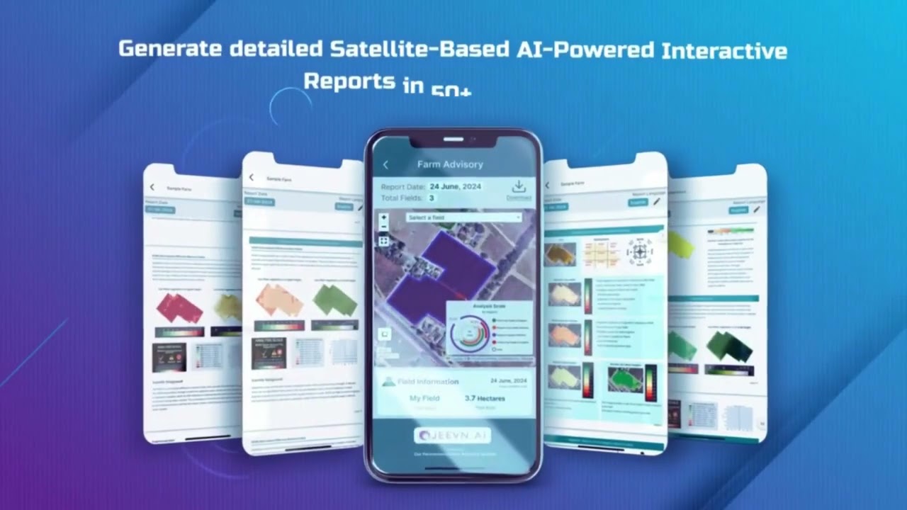
- NDVI Crop Health Monitoring: We provide accurate, timely NDVI imagery to help users monitor crop vigor, detect stress, and schedule irrigation or intervention precisely.
- AI-Based Advisory Systems: Our Jeevn AI platform automates actionable advice—including weather, pest, and yield alerts—improving efficiency for agriculture, mining, and infrastructure.
- Blockchain Traceability: Crop journey and health metrics are securely documented, supporting transparent, compliant supply chains.
Visit Farmonaut’s traceability solution for in-depth blockchain-powered food security. - Resource and Environmental Management: Digital dashboards for soil/moisture monitoring, carbon footprint tracking, and compliance reporting.
Explore environmental sustainability benefits with Farmonaut’s carbon footprinting tools. - APIs & Scalable Solutions: From smallholder dashboard apps to enterprise APIs.
Integrate NDVI and environmental data via Farmonaut APIs for complete digital transformation.
Benefits of Our NDVI Remote Sensing Approach
- Affordability: We democratize access to complex satellite services—no need for expensive hardware or specialized staff.
- Reliability: Data-driven insights are backed by regular satellite passes and robust cloud processing infrastructure.
- Sustainability: Our environmental monitoring and responsible resource management features promote compliance and stewardship.
- Scalability: Flexible solutions—from single-farm dashboards to region-wide monitoring with our large scale farm management platform.
Farmonaut API Integration
With our API, developers and organizations can integrate NDVI analytics, moisture estimation, pest alerts, and operational tools into their existing IT infrastructure. This accelerates digital agriculture transformation and unlocks multi-source data value.
Read our API developer documentation for step-by-step integration guidance.
Related Tools & Solutions
- Fleet Management: Monitor and optimize agricultural machinery, vehicles, and logistics in real time using satellite insights.
- Crop Loan & Insurance: Satellite-based verification streamlines credit/insurance for farmers while preventing fraud.
- Carbon Footprinting: Stay ahead of regulatory reporting by tracking emissions and adopting greener practices.
- Crop, Plantation, and Forest Advisory: Precision NDVI analytics for both crops and large-scale plantations.
5 Key Takeaways for NDVI Remote Sensing in 2026:
- ✔ AI and satellite integration enables real-time, hyper-local crop advisor services.
- 📊 High-resolution NDVI imagery empowers even smallholders with actionable insights.
- 🔗 Blockchain traceability drives food transparency and boosts consumer trust.
- 🌿 Precision moisture management combats water scarcity, maximizes yield.
- ⚡ API platforms streamline farm-to-bank workflows and digital compliance.
FAQ: NDVI, Remote Sensing & 2026 Agricultural Innovations
What is NDVI and Why is it Used in Agriculture?
The Normalized Difference Vegetation Index (NDVI) is a remote sensing index that measures the health and vigor of vegetation using the difference between visible red and near-infrared light reflected by plants. It’s used extensively in precise agriculture to monitor crop growth, detect stress, and optimize yield.
How Will AI and Machine Learning Change NDVI Remote Sensing By 2026?
AI and machine learning will enable real-time analysis of vast NDVI datasets, automating detection of stress, pests, or disease, optimizing recommendations, and making data-driven decisions possible at an unprecedented scale for both small farmers and large enterprises.
Is Remote Sensing Agriculture Accessible for Small Farms?
Absolutely—democratization via affordable drones and low-cost satellite passes is rapidly narrowing the gap. APIs and mobile apps (like those from Farmonaut) further ensure that all farms, regardless of size, benefit from NDVI-based advisories in their daily operations.
What Are the Main Challenges of NDVI in Remote Sensing?
- Cloud cover can obscure satellite imagery—drones or alternative sensors often supplement in such cases.
- Misinterpretation risk if NDVI data used alone, without context such as crop stage, weather, and field history.
- Data privacy and infrastructure limitations in less-connected regions—solved via edge computing and accessible mobile apps.
Where Can I Access NDVI Remote Sensing Solutions & Apps?
Farmonaut offers comprehensive NDVI and remote sensing tools through web, Android, and iOS apps. Our platforms integrate with existing workflows and provide affordable access to state-of-the-art analytics.
Access the Farmonaut NDVI remote sensing web app here.
Get the Farmonaut NDVI crop monitoring Android app here.
Download the iOS version for Farmonaut’s precision agriculture tools.
Conclusion – NDVI Remote Sensing: The Cornerstone of Modern Agriculture
As digital transformation and precision farming become central to global food production, the role of NDVI remote sensing will only intensify. The trends and technologies outlined here demonstrate how agriculture is shifting from reactive to genuinely proactive, sustainable, and scalable management by leveraging advanced NDVI analytics.
At Farmonaut, we continue to enable affordable satellite-based monitoring, AI advisory, traceable supply chains, and real-time environmental impact tracking for all our users. By facilitating the integration of computers and agriculture via satellite, web, and mobile solutions, we are committed to supporting a resilient, data-driven food system for 2026 and decades to come.
Farmonaut Subscription Plans
Flexible, affordable satellite-powered NDVI remote sensing solutions—designed for every farm, business, or government:
For more on how we can support your journey, contact Farmonaut today.