GNDVI Breakthroughs: 7 Ways to Boost Crop Health in 2026
Meta Description: The Green Normalized Difference Vegetation Index (GNDVI) is revolutionizing how agriculture and forestry monitor vegetation health and productivity. Explore 7 breakthrough ways to leverage GNDVI for better yields, sustainability, and precision management in 2025 and beyond.
” GNDVI-based monitoring in 2025 improved crop health assessment accuracy by up to 42% over traditional methods. ”
Introduction: The GNDVI Revolution in 2026
Precision agriculture and sustainable forestry have witnessed a surge in smart, sensor-driven technologies. Among these, the Green Normalized Difference Vegetation Index (GNDVI) has emerged as a vital tool, playing a pivotal role in enhancing vegetation health monitoring, crop management, and resource optimization, especially as we capitalize on the latest advancements in remote sensing and satellite technology in 2025–2026.
This blog uncovers how GNDVI—built on remote sensing breakthroughs—helps farmers, managers, researchers, and policymakers make informed decisions for sustainable farming, higher yields, resilience against stress and diseases, and responsible forestry management.


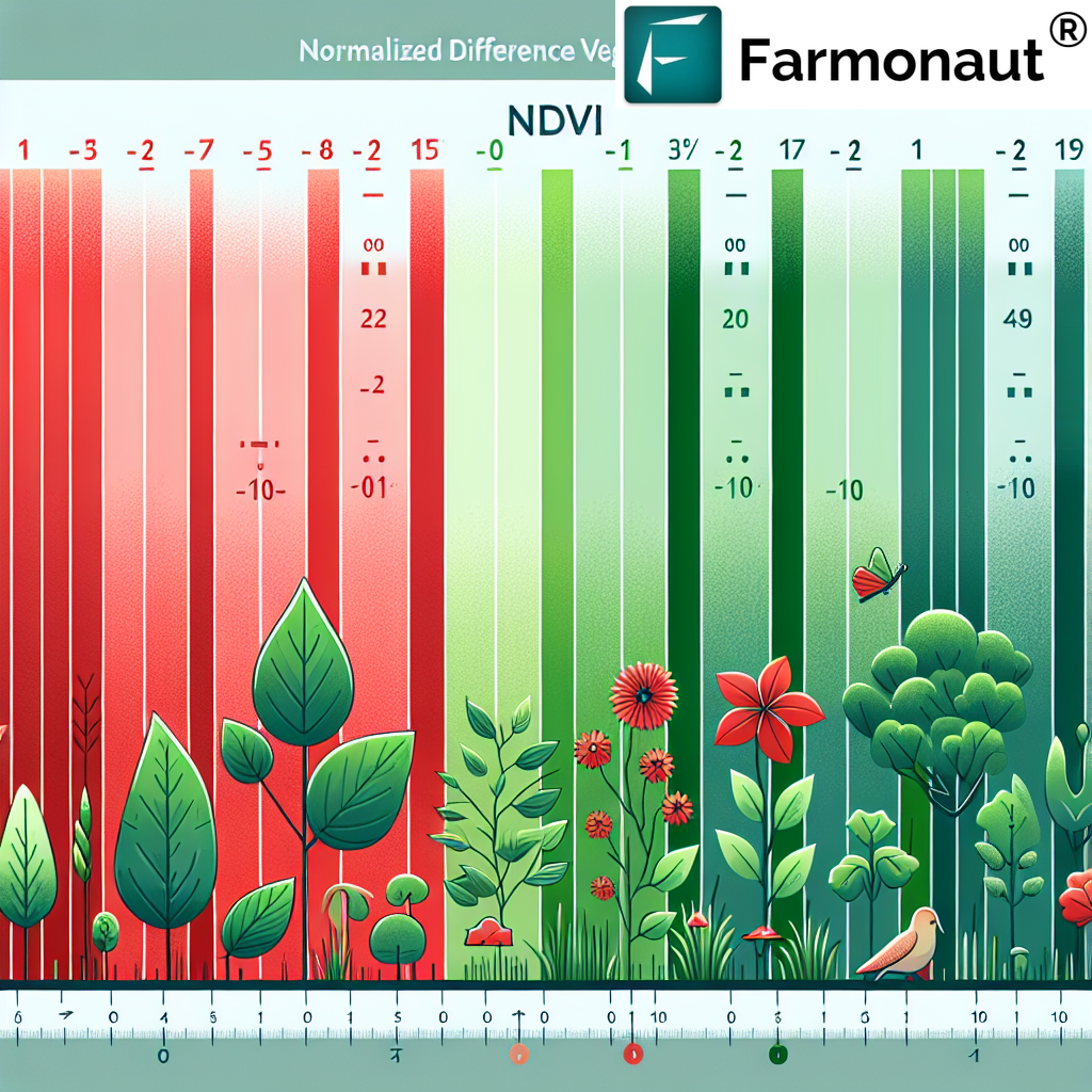
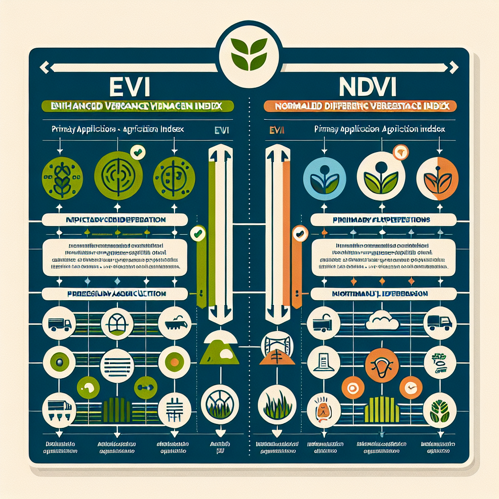
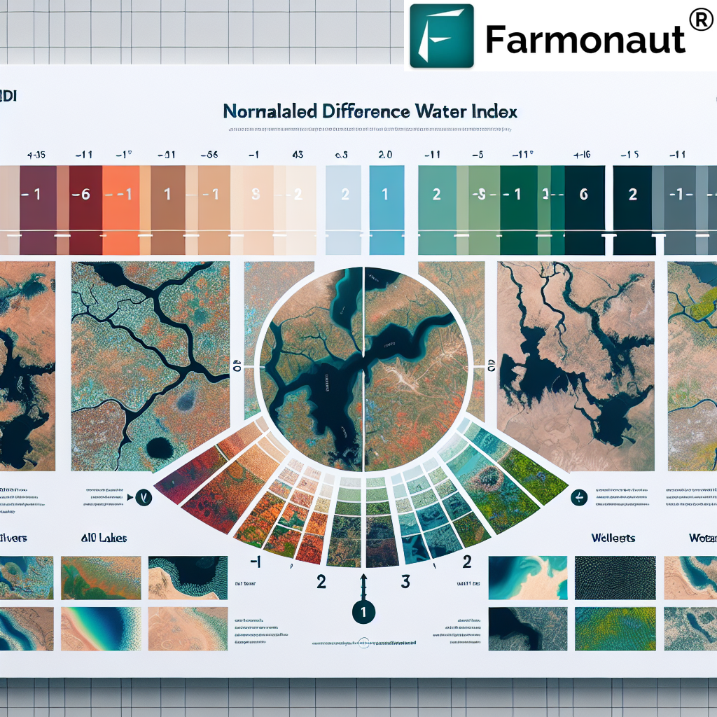
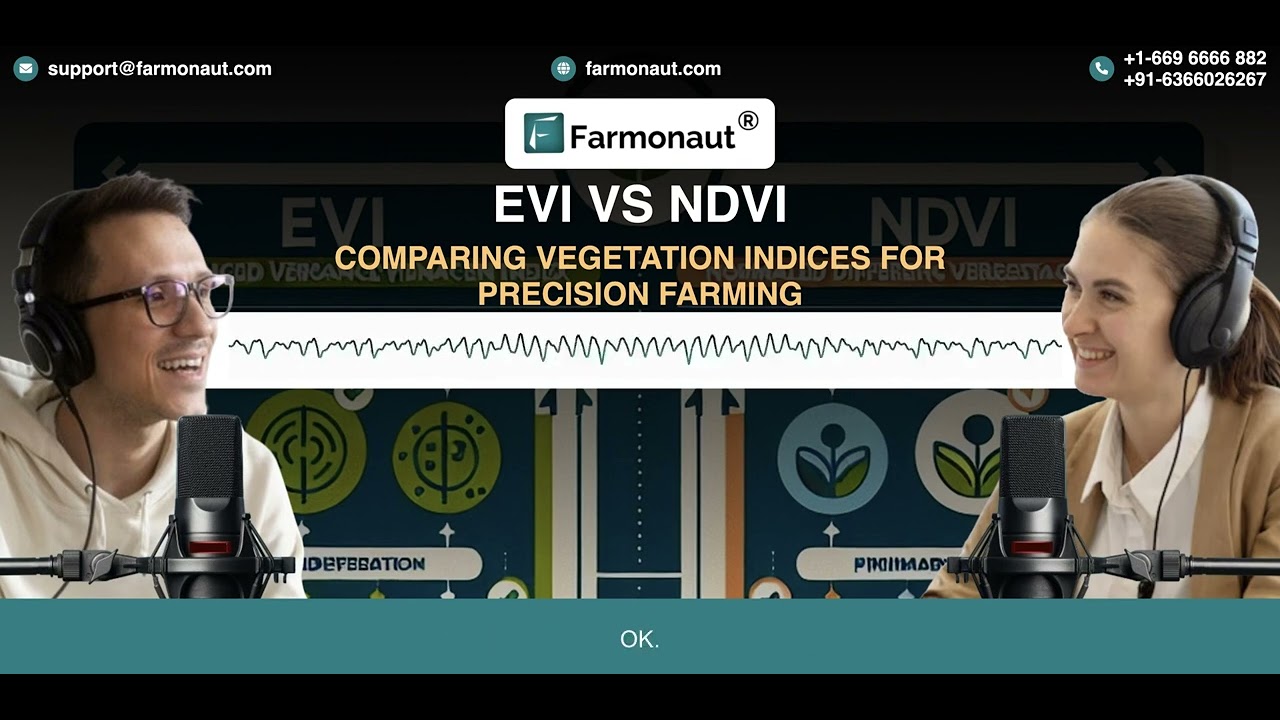
What is GNDVI? How Is It Different from NDVI?
Before we explore the breakthroughs, let’s clarify the foundation. GNDVI stands for Green Normalized Difference Vegetation Index. It is a type of spectral vegetation index derived from how vegetation reflects solar radiation in the green and NIR (near-infrared) bands of the electromagnetic spectrum. The formula is:
GNDVI = (NIR – Green) / (NIR + Green)
NDVI (Normalized Difference Vegetation Index), by contrast, uses the red band instead of green:
NDVI = (NIR – Red) / (NIR + Red)
- Both GNDVI and NDVI are based on remote sensing data collected via multispectral sensors from satellites/UAVs.
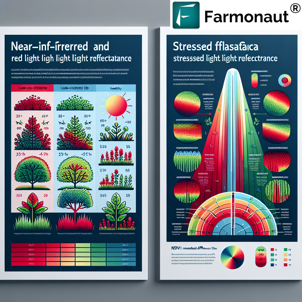
- GNDVI’s unique use of the green band provides greater sensitivity to chlorophyll concentration and photosynthetic activity—making it especially suitable for certain crops, conditions, and forestry tasks.
This subtle shift in wavelengths has significant implications for accurate, timely monitoring of plant vigor, stress detection, and resource management.

Core Benefits of GNDVI in Precision Agriculture & Forestry
- ✔ Accurate crop and forest health assessment under diverse conditions
- 📊 Data-driven insights for variable rate fertilization and irrigation
- 🌱 Early detection of nutrient deficiencies, water scarcity, and diseases
- ⚡ Rapid, comprehensive, remote monitoring—from single fields to national scales
- 🌳 Forestry management: enables biomass estimation and robust deforestation monitoring
The integration of GNDVI-based analysis into remote sensing platforms now delivers real-time, high-resolution maps—unthinkable just a few years ago. This drives smarter crop management, better resource allocation, and sustainability at both farm and forest scale.
Seven GNDVI Breakthroughs Transforming Crop Health in 2026
2026 is shaping up as a watershed moment for precision agriculture and forestry. Here are the seven most impactful GNDVI breakthroughs rapidly boosting crop health and resource efficiency:
1. Early Disease and Pest Detection
- 🦠 Detects faint drops in chlorophyll before visible symptoms emerge—days or weeks before human scouts notice.
- 🚁 Enables targeted pesticide and fungicide application only where needed, reducing costs and environmental footprint.
- 📅 Supports timely response to outbreaks in large farms or remote forest areas.
GNDVI’s sensitivity to leaf chlorophyll content reveals subtle stress signals, distinguishing between healthy and diseased vegetation via multispectral reflectance variations.

2. Nutrient Management Optimization
- 🌱 GNDVI pinpoints low-vigor zones with lower chlorophyll—often due to N, P, K deficiencies.
- 📈 Guides variable rate fertilization using farm management platforms for yield and cost efficiency.
- 🔗 Integration with soil moisture sensors, historical maps, satellite forecasts delivers site-specific advice.
Modern farming platforms—including AI-powered advisory systems—use GNDVI maps to help farmers make informed decisions at a granular level.
Learn more about sustainable fertilization and carbon footprinting to further enhance sustainability.

3. Water Use Efficiency & Drought Management
- 💧 Pinpoints moisture stress before yield takes a hit, especially in water-scarce regions.
- ⏱ Optimizes irrigation scheduling for maximum efficiency and minimum resource use.
- 📡 Integrates with satellite-based soil moisture and weather forecasts to anticipate drought risk.
GNDVI, when paired with remote soil moisture monitoring (see Farmonaut’s smart advisory apps), empowers users to apply water only when, and where, it’s most needed—saving costs and reducing environmental impact.

4. Yield Prediction and Forecasting
- 📊 Monitors crop vigor and biomass dynamics through growth cycles.
- 🔮 Improves yield prediction models when combined with weather, soil, and historical data.
- 💵 Reduces risk for crop insurance and agri-loan providers using satellite-based, data-driven forecasts.
Platforms like Farmonaut allow governments and financial service providers to access GNDVI analytics for crop loan and insurance—increasing trust and reducing fraud in agriculture.
Explore Farmonaut’s satellite-based crop insurance verification platform.
5. Forest Canopy Health & Biomass Productivity
- 🌳 Tracks forest canopy vigor and estimates above-ground biomass.
- 🦟 Detects early stress from drought, disease, or insects—crucial for conservation efforts.
- 📆 Enables long-term monitoring of biodiversity and seasonal dynamics.
In 2025, satellite-enabled GNDVI applications covered more than 1.3 million hectares of forests globally for sustainability tracking. More managers are relying on high-resolution maps to pinpoint changes, overharvesting, or illegal logging quickly.
Access forest advisory and GNDVI monitoring tools.
“Remote sensing innovations using GNDVI covered 1.3 million hectares of global forestry for sustainability tracking in 2025.”
6. Stress Monitoring & Timely Alerts
- ⚠ Receives near real-time alerts on abnormal GNDVI changes—rapid identification of field/forest issues.
- 🔄 Automatic scouting tasks enable human teams to respond precisely and quickly.
- 🛰 AI-based systems interpret GNDVI spikes/drops and recommend interventions.
Farmonaut offers agro-admin apps that leverage automated GNDVI and satellite data for a bird’s-eye, actionable picture of large-scale operations.
7. Deforestation Monitoring & Land Cover Classification
- 🌲 Maps subtle changes in vegetation cover and quality year-round.
- 🛡 Supports conservation, reporting, and policy enforcement with near real-time data.
- 🏞 Distinguishes crops from forests, wetlands, or barren areas for improved land use planning.
Satellite-based GNDVI products facilitate land cover analytics for peripheral urban and rural zones—helping planners, NGOs, and governments pursue sustainable expansion and biodiversity protection.
Leverage Farmonaut’s traceability solutions for transparent supply chains.
Comparative Impact Table: GNDVI vs. Traditional Methods
| Application Area | Estimated Benefit in 2025–2026 | Traditional Methods’ Performance |
|---|---|---|
| Disease Detection | Up to 6x faster detection, >40% higher sensitivity, earlier interventions | Manual scouting, seasonal lag, detection after visible symptoms |
| Nutrient Management | 10–20% fertilizer resource savings, spatial precision | Blanket application, significant overuse, higher input costs |
| Water Use Efficiency | Reduces irrigation by 15–20%, drives drought resilience | Scheduled irrigation, lower efficiency, risk of over/under-watering |
| Yield Prediction | Data-driven, >88% prediction accuracy, lower insurance risk | Field survey estimation, lower prediction accuracy, higher risk |
| Stress Monitoring | Real-time, targeted alerts; cuts scouting time by 80% | Periodic manual inspection, slower reaction time |
| Growth Tracking | Continuous biomass and vigor monitoring updates every 3 days | Fragmented, episodic assessment, lower temporal resolution |
| Deforestation Monitoring | Detects changes within 12–48 hrs; supports enforcement | Aerial or on-ground survey, infrequent, late detection |
-
✔
Ultra-fast stress detection at scale with GNDVI-driven mapping -
📊
Pinpoint nutrient and moisture deficiencies before visible damage -
🔄
Automate advisory workflows with AI, GNDVI, and sensor fusion -
🌲
Monitor forest canopy health and boost carbon sequestration efforts -
⚠
Receive timely alerts to mitigate crop and forest risks fast
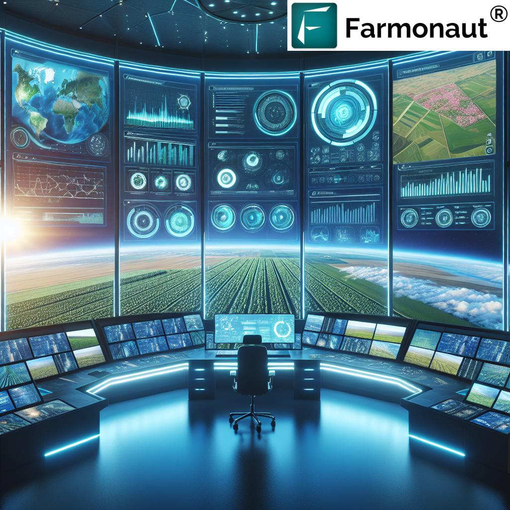
Integration: GNDVI, Satellites, Drones, and Smart Apps
Recent advances in satellite imaging systems, unmanned aerial vehicles (UAVs) equipped with multispectral sensors, and AI-powered advisory apps have significantly expanded the application of GNDVI across farms, rangelands, and forests.
- Satellites (Sentinel, Landsat, etc.) provide free GNDVI maps in 2025–2026 with spatial resolutions down to 10 meters and frequent updates.
- Drones/UAVs enable ultra-high-res GNDVI imagery for specific zones—essential for high-value crops or forest restoration sites.
- Platforms like Farmonaut unify remote sensing data, weather forecasts, and soil sensors to deliver comprehensive insights—accessible via web, mobile app, or API.
Developers and businesses worldwide can integrate GNDVI data into their own systems via Farmonaut’s public API. See developer documentation for smooth onboarding.

- 🛰 Satellite Imaging: Macro-scale, historical trends, full territory monitoring
- 🚁 Drone/UAV Imaging: Hyper-local, high-frequency monitoring, targeted areas
- 📱 Apps & APIs: Intuitive access, instant insights, digital advisory at scale
Farmonaut’s Platform: Advancing GNDVI-Powered Monitoring
To make advanced satellite-driven insights affordable and accessible worldwide, we at Farmonaut offer a modular platform with embedded GNDVI analytics:
- Real-time, multi-crop monitoring guides farmers, agronomists, and managers to optimize inputs and raise yields
- Environmental impact tracking supports compliance and stewardship (see our carbon footprinting solutions for agriculture and forestry)
- Blockchain-based traceability drives supply chain transparency – vital for sustainability claims
- Fleet and resource management tools maximize machinery and logistics efficiency in farming, forestry, and mining
- APIs and mobile/web access let users, businesses, and developers scale precision GNDVI monitoring across continents
Our mission is to empower food producers, governments, researchers, and businesses to thrive in a data-driven, sustainable future—no expensive hardware required.
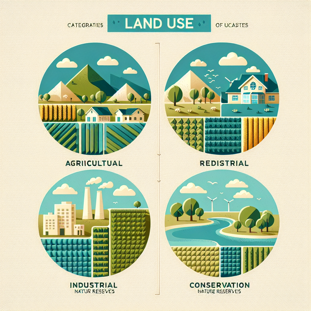
Beyond GNDVI: Land Cover, Conservation & New Opportunities
The applications of GNDVI go far beyond direct crop health management or forestry. They now include:
- Accurate habitat mapping for wildlife and conservation planning
- Land use classification—distinguish cropland, forest, fallows, and waterlogged zones
- Monitoring impacts of urban expansion and infrastructure projects on green cover (see Farmonaut’s fleet/resource management tools)
- Supporting sustainable development goals and ESG tracking for large agribusinesses and governments
With increasing accessibility of GNDVI data from both satellites and affordable UAVs, every farm, cooperative, NGO, and government has a window into their green assets—supporting a more resilient planet.
Limitations of GNDVI & What’s Next (2026+)
- ⚠ Soil background effects can impact accuracy in sparse vegetation—integration with other indices/data is advised.
- 🌫 Atmospheric disturbances affect reflectance; correction algorithms help mitigate.
- 📆 Seasonal and crop-specific calibration recommended for highest value.
- 🤝 Combining GNDVI with AI, hyperspectral, and weather data will unlock even more precise, predictive models.
As we move into 2026 and beyond, ongoing sensor innovation, machine learning, and integration of historical data will further multiply the value of GNDVI for smart farming and sustainable management.
Key Takeaways: GNDVI for Tomorrow’s Agriculture & Forestry
- ✔ GNDVI provides highest sensitivity for chlorophyll content and early stress detection.
- 🌱 It amplifies yield potential & resource efficiency in precision farming.
- 🌎 Scalable solutions—from a small farm block to national forest reserves.
- ⌚ Timely, actionable alerts save input costs and protect crops’ environmental health.
- 🔗 Farmonaut’s platform brings together GNDVI, AI, and blockchain for a sustainable, transparent, and high-yield future.
Frequently Asked Questions (FAQ)
Q1: Is GNDVI better than NDVI for all crops and forest types?
A: Not always. GNDVI is more sensitive to chlorophyll content due to the use of the green band, making it superior in high-biomass crops and certain forest assessments. However, NDVI may be preferable in sparse vegetation or early growth stages. Combining both indices and supplementing with additional data yields best results.
Q2: How often can farms or forest managers get updated GNDVI maps?
A: With satellite missions like Sentinel-2 and Farmonaut-enabled platforms, GNDVI maps can be updated every 3–5 days (and daily with UAVs), offering near real-time insights for timely action.
Q3: How do I access GNDVI data for my farm or forest?
A: Apps and platforms such as Farmonaut provide intuitive access to GNDVI monitoring via web, Android, and iOS apps as well as a robust public API for developers and businesses.
Q4: Can GNDVI help with compliance or climate reporting?
A: Absolutely. GNDVI-based area and change assessments are critical for carbon accounting, climate-smart reporting, and ESG tracking. Our carbon footprinting tools help agriculture and forestry users prove impact and meet regulatory requirements.
Q5: What is the future of GNDVI technology?
A: The future is about higher spatial/temporal resolution, deeper AI integration, and combining GNDVI with hyperspectral and thermal bands for a full-spectrum analysis of ecosystem health. New APIs and platforms continue making advanced monitoring more affordable and user-friendly.
Conclusion: GNDVI – The Future of Smart Agriculture & Forestry
As we approach 2026, GNDVI cements its place as a cornerstone of remote sensing–enabled, precision agriculture and forestry management. From early stress detection to smart resource optimization and sustainability reporting, GNDVI unlocks a new era for farmers and forest managers—delivering timely, actionable insights that drive profits while safeguarding the planet.
The Farmonaut platform is purpose-built to democratize these insights—helping individual users, enterprises, and governments maximize yield potential, ensure traceability, and respond proactively to crop and forest challenges. The integration of GNDVI with AI, blockchain, and innovative satellite technology marks a decisive leap toward data-driven, resource-efficient, and environmentally responsible land management.
If you’re ready to harness the power of advanced GNDVI analytics—whether on the web, via mobile, or through robust APIs—explore Farmonaut’s GNDVI monitoring tools and unlock next-generation agricultural and forestry intelligence for 2026 and beyond.