Agrometeorology 2026: Unlocking Sustainable Farming Success
“In 2025, agrometeorology reduced crop losses by up to 20% through precise climate and weather data-driven practices.”


Contents
- The Importance of Agrometeorology in 2026
- The Science Behind Agrometeorology: Core Concepts & Variables
- Advanced Climate Intelligence in Agriculture: 2026 and Beyond
- Satellite, AI, and Remote Sensing in Agrometeorology
- Precision Farming & Resource Management: Optimizing Growth and Inputs
- Risk Management with Agrometeorological Models & Systems
- Forestry Impact and Fire Risk Management
- The Role of Agrometeorology in Mining & Infrastructure Sectors
- AI, Machine Learning, and Big Data in Agrometeorology
- Impact Table: Sustainable Farming Outcomes & Agrometeorological Data
- Farmonaut: Enabling Satellite-Driven Climate Intelligence
- Farmonaut Subscription Options & API Links
- Frequently Asked Questions
- Conclusion
The Importance of Agrometeorology in 2026
Agrometeorology stands at the very center of the sustainable agriculture revolution in 2026 and beyond. This vital science studies the interaction between meteorological phenomena and agricultural production systems, offering critical tools for optimizing crop growth, resource use, and risk management — all through the power of climate intelligence.
As global change intensifies, weather patterns have become increasingly variable and unpredictable, posing significant challenges to farmers, policymakers, and other allied sectors. In 2026, agrometeorology is uniquely positioned to provide actionable insights, enabling decision-makers to implement sustainable and resilient practices that address these ongoing challenges.
The Science Behind Agrometeorology: Core Concepts & Variables
At its core, agrometeorology involves monitoring and analyzing key meteorological variables—such as temperature, rainfall, humidity, solar radiation, and wind—and understanding their impacts on agricultural production. These variables directly affect crop growth patterns, pest outbreaks, soil health, water resources, and broader environmental conditions.
- 🌡️ Temperature: Determines rate of plant development and stress.
- 💧 Rainfall: Influences soil moisture, irrigation planning, and crop yields.
- ☀️ Solar Radiation: Essential for photosynthesis, growth, and energy balance.
- 💨 Wind: Contributes to evaporation, pollination, and pest dispersal.
- 💦 Humidity: Affects pest outbreaks, disease spread, and transpiration rates.
By studies of these variables and their interaction with crop and soil systems, agrometeorology builds a bridge between raw weather data and practical farming practices.

Advanced Climate Intelligence in Agriculture: 2026 and Beyond
The agricultural sector has increasingly turned to climate intelligence for both day-to-day and season-to-season decision making. In 2026, farmers have unprecedented access to advanced meteorological models, satellite-driven analytics, and remote sensing data, often delivered directly to smartphones or farm management platforms.
Key Focus: Sustainable Agriculture through Climate Intelligence
- 🌱 Optimize crop growth stages: Plant at ideal dates based on weather projections and localized forecasts.
- 💧 Minimize inputs: Precisely adjust irrigation and fertilizer application using real-time soil moisture and weather data.
- 🚨 Early warning systems: Prepare for extreme events (e.g. heatwaves, frosts, unseasonal rains) to minimize losses.
- 📉 Reduce crop failure risks: Deploy drought-tolerant varieties selectively, guided by medium-term forecasts.
- ♻️ Environmental footprints: Use less water, fertilizer, and energy; adopt climate-smart, sustainable practices.

Climate models now integrate a spectrum of satellite images, big data analytics, and AI-powered advisory (see Farmonaut Jeevn AI) to deliver highly localized forecasts and agrometeorological assessments, tailored to specific farming communities.

Satellite, AI, and Remote Sensing in Agrometeorology
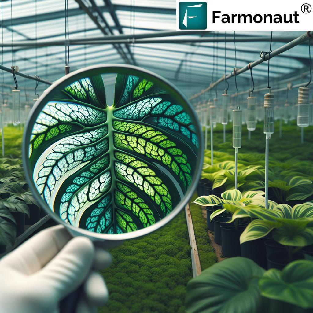
Satellite technology and AI-driven remote sensing are redefining how agrometeorological data is captured, processed, and applied. Using multispectral images, satellites quantify vegetation health, soil moisture, temperature anomalies, and surface radiation at a spatial detail never before seen. Real-time alerts and blockchain-based traceability further enhance the transparency and reliability of this data.
- ✔ Real-time crop monitoring: Detect stress and outbreaks early using satellite imagery (NDVI/EVI).
- 📊 Data insight: AI combines satellite feeds with historical weather and soil databases for predictive analytics.
- ⚠ Risk or Limitation: Data-driven advisories are only as good as the quality and frequency of input data.
- ⏱ Timely interventions: Automated systems warn against pest outbreaks, irrigation mismatches, or heatwaves instantly via app.
- 🌍 Global accessibility: Affordable SaaS models (like Farmonaut) put these solutions within reach of even smallholders.

Visual List: Top Benefits of Satellite-Based Agrometeorological Solutions
- 📍 Field-level insights
- 🥇 Quantifiable resource savings
- 📈 Yield-boosting recommendations
- 🥽 Pest & outbreak warnings
- 🌳 Sustainable compliance monitoring
Precision Farming & Resource Management: Optimizing Growth and Inputs
The leap to precision farming is fundamentally powered by agrometeorological data. With robust monitoring of moisture, temperature patterns, and localized forecasts, farmers can optimize irrigation schedules, fertilizer applications, and planting dates to match seasonal and field-specific conditions. This technology delivers increased productivity with minimized environmental footprints.
For example, drought-resistant crop varieties are now selectively sown based on short and medium-term projections, reducing the risk of crop failure. Similarly, automated irrigation management uses soil moisture sensors and forecasted rainfall data to prevent over- or under-watering, a key to water and energy conservation.

- 🛰️ Satellite-driven irrigation decisions use NDVI/NDWI data to match water supply with real crop needs.
- ⌛ Automated scheduling minimizes downtime and resource waste.
- 🌾 Yield mapping pinpoints large-scale farm management problem areas for targeted action.
- ♻️ Environmental impact tracking supports carbon footprinting initiatives and compliance for sustainable farming.
“Over 60% of sustainable farms in 2026 used climate intelligence for resource optimization and risk management.”
Risk Management with Agrometeorological Models & Systems
Robust risk management is critical for sustainable production. Agrometeorological models are engineered to assess risk from impending extreme weather events and long-term pattern shifts, underpinning both insurance schemes and operational resilience.
- 🥇 Crop loan & insurance validation: Farmonaut’s platform delivers field-specific data to banks & insurers, reducing fraud and expediting farmer compensation.
- 🔥 Early flood/fire warnings: Leverage combined meteorological and soil moisture data for timely measures against disaster impact.
- 🚨 Pest and disease outbreak alerts: Models analyze climate anomalies to predict potential outbreaks and recommend rapid mitigation.
- 📆 Dynamic re-scheduling: Automated platforms allow instant adjustment of planting and harvesting plans based on latest projections.
- 📉 Reduces crop failure risks by 20%+
- 🚫 Minimizes losses from heatwaves and unseasonal rains
- 🦟 Limits costly pest outbreaks
- 💰 Improves access to insurance & agri-finance
Forestry Impact and Fire Risk Management
Modern agrometeorology increasingly affects forestry sector management. Models help anticipate pest outbreaks (e.g., bark beetles, locusts) and assess fire risk by integrating weather forecasts with vegetation moisture indices.
- 🔥 Fire Risk Mapping: Real-time satellite data + meteorological models enable potential fire hazard forecasts and allocation of firefighting resources.
- 🌲 Afforestation Planning: Decide optimal planting dates and select climate-resilient tree species to rehabilitate lands, such as crop-plantation forest advisory tools.
- 🦗 Pest Infestation Alerts: Integrated satellite, AI, and weather models allow timely measures against emerging risks.

The Role of Agrometeorology in Mining & Infrastructure Sectors
The mining sector now relies heavily on agrometeorological data to both monitor environmental impacts and regulate operational safety. Satellite-driven models track runoff risks and contamination potential during heavy rains, supporting timely mitigation by predicting how weather shifts may spread pollutants into surrounding soils and farms.
- 🌎 Environmental impact monitoring: Track carbon and effluent footprints; maintain compliance using Farmonaut Carbon Footprinting .
- 🔄 Rehabilitation Planning: Use weather and soil data to select trees/plant species & schedule reclamation planting for maximum survival.
- 🚛 Fleet and resource management: Monitor vehicles, machinery, and resources with real-time analytics (learn more).
AI, Machine Learning, and Big Data in Agrometeorology
The integration of artificial intelligence, machine learning, and big data analytics with agrometeorological research is driving revolutionary leaps in yield prediction, pest forecasting, and sustainability analysis.
- Machine learning models analyze decades of historical weather merged with local crop performance for highly accurate yield and risk forecasts.
- Community-driven adaptation: Participatory platforms allow farmers to upload real-time local data, enriching central databases for collective benefit.
- Automated advisory systems (e.g. Jeevn AI) convert raw data into practical, field-level recommendations.
- Blockchain-enabled tracing ensures traceability throughout crop and mining supply chains (see Product Traceability).
Impact Table: Sustainable Farming Outcomes & Agrometeorological Data
| Agrometeorological Parameter | Sustainable Practice Enabled | Estimated Resource Savings (%) for 2025 | Estimated Yield Improvement (%) |
|---|---|---|---|
| Rainfall Forecast | Precision Irrigation, Timely Sowing | 20-28 | 12-16 |
| Temperature Monitoring | Pest Management, Variety Selection | 12-17 | 8-11 |
| Soil Moisture Mapping | Precision Irrigation, Water Conservation | 25-40 | 13-17 |
| Solar Radiation Analysis | Planting Date Optimization, Crop Planning | 8-10 | 6-9 |
| Wind Pattern & Speed | Pest/Disease Spread Mitigation | 7-12 | 5-7 |
| Localized Climate Risk Assessments | Early Intervention, Resource Buffering | 10-18 | 7-10 |
| Real-Time Outbreak Monitoring | Pest & Disease Prevention | 5-11 | 7-12 |
Farmonaut: Enabling Satellite-Driven Climate Intelligence
At Farmonaut, our mission is to make satellite-driven intelligence affordable and accessible worldwide. We empower farmers, agri-businesses, mining and infrastructure sectors, and governments to thrive in the era of data-driven sustainability. Here’s how our innovations support agrometeorology and sustainable agricultural practices:
- 🛰️ Satellite-based crop monitoring: Real-time NDVI, soil status, yield analytics
- 🔗 Blockchain traceability: End-to-end supply chain transparency (see product details)
- 💡 AI-powered advisories: JEEVN AI for in-season, field-specific recommendations
- 🚜 Resource/fleet management: Optimize logistics for agriculture & mining (learn more)
- ♻️ Environmental impact tracking: Monitor and report emissions, water use, and carbon footprint (see product)
This comprehensive suite of tools is delivered via Android, iOS, and web apps, as well as robust APIs for seamless integration. Our solutions scale from small farms to corporate agribusinesses and are instrumental for governments and financial institutions validating crop insurance and agri-loans.
Farmonaut Subscription Options & API Links
Whether you’re an independent farmer, agri-business, mining operator, or government planner, our affordable subscription plans put advanced satellite monitoring, climate intelligence, and resource management tools at your fingertips.
- 🌏 Access the API directly: Farmonaut API Portal
- 🛠️ API Developer Docs: Farmonaut Satellite Weather API Docs
- 📱 Mobile apps: Android and iOS clients for real-time field monitoring
Frequently Asked Questions
Agrometeorology is the science that examines the interaction between weather, climate, and agriculture. In 2026, with global change intensifying, sustainable farming increasingly relies on agrometeorological data to optimize resource use, manage risk, and improve resilience against climate unpredictability.
Satellite technology delivers fine-grained, real-time data on crop growth, soil moisture, localized weather, and pest risks. It enables farmers to make informed decisions, boosts yields, and reduces environmental impacts by supporting precision farming and early warning systems.
Affordable platforms like Farmonaut make advanced agrometeorological insight accessible via web, Android and iOS apps, offering real-time data, automated advisories, risk forecasts, and sustainability tracking.
Agrometeorology benefits not just agriculture but also forestry, mining, and infrastructure. It enables better management of environmental impacts, operational efficiency, and risk mitigation across allied sectors.
Sign up for a subscription via our platform, explore our API offerings, or request enterprise solutions tailored to your sector. You can also refer to our developer documentation for integration.
Conclusion
As we move through 2026, agrometeorology is more than just weather prediction—it’s central to advancing sustainable agriculture, climate risk management, resource optimization, and productivity not only for farmers but for mining, forestry, and infrastructure sectors worldwide. By leveraging advanced meteorological models, satellite imagery, AI advisories, and real-time data, we enable stakeholders at all scales to implement resilient, eco-friendly decisions.
With a new climate reality upon us, investing in agrometeorological intelligence is vital for present and future food security, sustainable resource management, and environmental stewardship. Stay ahead—make data-driven decisions for sustainable growth.